Stats: Today - 68 miles; 2058 miles to date
Elevation climbed: 397 ft; 53,947 feet to date
Temp. Low: low 50's High: mid 70's
Sunny, light nw winds
The change from the west side of the Red River Valley to the east side is interesting. On the North Dakota side it is flat and arid. On the Minnesota side are rolling hills and vegetation is more lush with more trees and lakes.
About three miles out of Pelican Rapids we turned North on Ottertail County Road 3, also known as the Otter Trail Scenic Highway. Today's blue sky was an excellent backdrop to view the lakes and rolling hills. We had great views for the twenty-two mile ride to Fergus Falls.
When looking for a lunch stop in Fergus Falls, we met Randall and Jenny who were also bicycling and looking for a lunch stop. So we found a small cafe and all ate together. Randall and Jenny are riding from Los Angeles to Long Island, New York. They've had an eventful trip thus far including the kind you don't want with seven flat tires. They were also caught in hail one day in an area with no trees or anywhere to take shelter.
After lunch we started riding on a rail trail, old railroad tracks that have been converted into a bike trail. The first fifty-five miles of this trail is called the Central Lakes Trail. The next forty-six miles is called the Lake Wobegon Trail. As you can imagine an old railroad line would make for a relatively flat route. The biggest benefit is that we don't have to deal with traffic.
Tonight we are staying near the town of Brandon. We are camping at a county campground in Douglas County called Chippewa Campground. Again we have a beautiful spot on a lake.

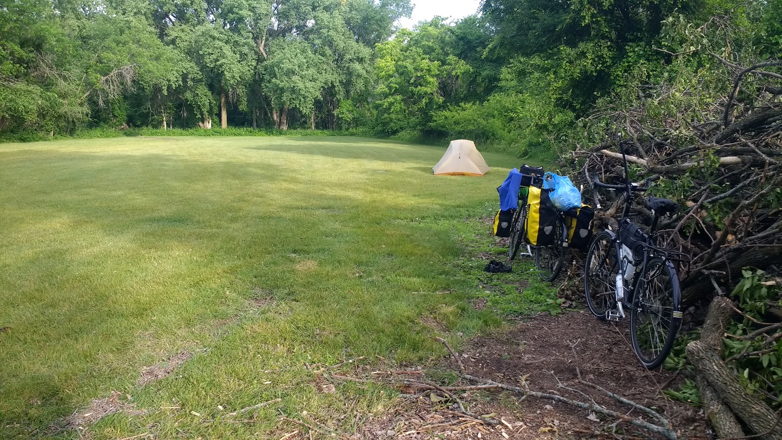
From the campsite in Pelican Rapids

From the campsite in Pelican Rapids

From the campsite in Pelican Rapids


Thankfully the road construction was finished.

The storehouse is full.


A Minnesota lake


A lake with a dock.


Randall and Jenny with us.

Entering the Central Lakes Trail near Fergus Falls.